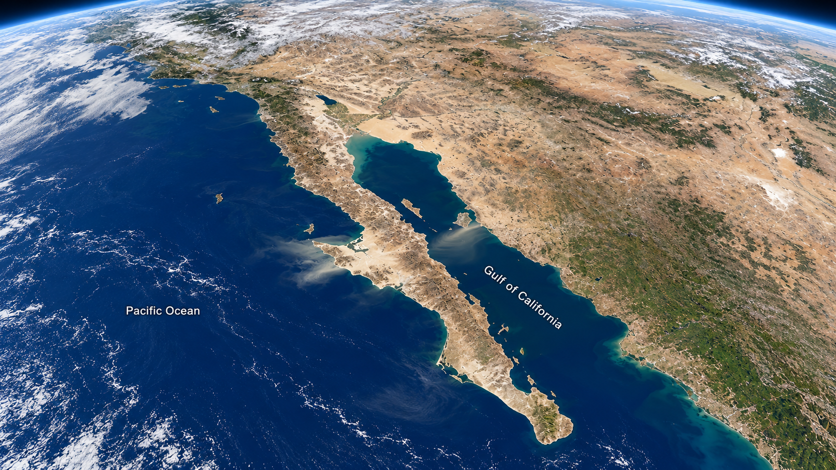
A study published in Science suggests that tectonic processes on the far side of the Pacific Ocean may have helped pull the Baja California peninsula away from mainland Mexico. According to The Brighter Side of News, global computer simulations indicate that interacting subduction zones near Japan and the Philippine Sea added stretching stress around the Gulf of California, possibly accelerating the region's continental breakup.
The research was carried out by scientists from the University of Texas at Austin, the Czech Academy of Sciences, the Helmholtz Centre for Geosciences and Roma Tre University. Their models produced roughly 5 to 10 megapascals of additional tensile stress around the gulf and nearby areas, with some locations exceeding 10 megapascals. The authors present this as a plausible distant driver of the breakup, though the work does not calculate how many millions of years the process may have shortened, nor does it forecast earthquakes.
Why it matters
The Gulf of California records one of the fastest known transitions from a stretched continent to a young ocean basin. The first seafloor spreading there began about 6 million years ago, and depending on the geological starting point chosen, the shift from focused rifting took somewhere between 6.5 million and 13 million years. By comparison, continental rifts that eventually grow into large ocean basins typically need about 30 million to 80 million years or more.
Earlier stretching and magmatic activity had already weakened the lithosphere — Earth's rigid outer shell of crust and uppermost mantle — around the future gulf, which made separation easier. But the researchers argue that comparable weaknesses elsewhere do not always lead to such quick breakup, so another force was needed to explain the pace. The reorganization also shifted Baja California toward the Pacific plate and helped set up the modern San Andreas fault system, meaning the findings bear on how the western margin of North America took its present shape.
How a trench near Japan could affect Mexico
Subduction zones are places where one tectonic plate slides beneath another into the mantle. The descending portion, known as a slab, exerts a pulling force on the wider plate system. When two slabs sink in broadly the same direction, their combined effect can change motions well beyond either trench.
"What we think happened in the western Pacific is that there was once a single subduction zone, but then a second one formed," co-author Xiang He said, according to The Brighter Side of News. He is a graduate research assistant at UT Austin's Jackson School of Geosciences and Institute for Geophysics and led the numerical modeling.
The system examined in the study involves the Ryukyu, Nankai and Philippine subduction zones interacting with the Izu-Bonin-Mariana system. Geological reconstructions place significant changes in this coupled arrangement at around 10 million years ago — timing that overlaps with the later strengthening of stretching and fault development around the Gulf of California. The proposed link works through stresses inside plates and shifts in mantle flow; it does not require a fracture running across the Pacific. Forces acting in one part of a connected system can instead alter the balance elsewhere, with the strength of local rock shaping the response.
What the models tested
The team built three-dimensional global models using ASPECT, an open-source geodynamics program. They fed in information on the shapes of sinking slabs, mantle structure and variations in lithospheric properties, and the calculations returned mantle velocities, plate motions and stresses within plates.
The key comparison pitted configurations including the additional western Pacific subduction system against those without it. Subtracting the resulting stress fields allowed the researchers to isolate that system's contribution. Their reference model reproduced observed plate motions and Earth's geoid, the gravity-defined surface used to describe the planet's shape. The team also tested reconstructed trench positions from about 15 million years ago to see how changing geometry might affect Pacific plate motion, and ran other experiments varying assumptions about rock strength and resistance along the Gulf of California boundary to check whether the main result hinged on a single setup.
These are comparisons between modeled configurations rather than a continuous simulation of every stage of the breakup. As The Brighter Side of News notes, they test whether the proposed distant force is mechanically plausible; they do not observe ancient stresses crossing the ocean or reproduce the gulf's full geological history. The strongest modeled changes appeared near the western Pacific subduction zones where the forces originate, while a separate stretching signal showed up around the Gulf of California, the Salton Trough and the southern San Andreas system.
A megapascal measures force spread over an area. In this context the figure describes an increase in modeled stretching stress, not the size of an earthquake. Whether such an increase matters depends on how close the surrounding rock already was to deforming and concentrating strain.
Watch for follow-up work testing whether the same distant mechanism can be detected in the geological record of other rapidly opened basins.